Rail Trail
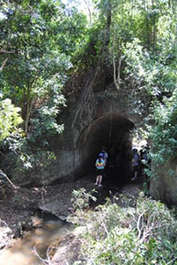
So why not come and immerse yourself in the history and nature at this excellent recreational facility. Wander around the old Linville Station, tether your horse to the purpose built rails at Benarkin or perhaps spend a moment at the rather lonely place where two railway workers lost their lives building the line those many years ago. This site would have once overlooked the clang and clatter of men building the line by hand, in tough and remote conditions.
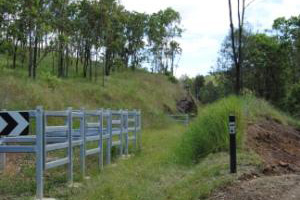
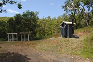
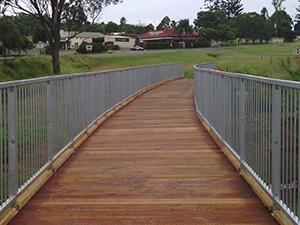
There are toilet facilities located in Benarkin and at the historical site where the Tent School at MacNamara's Camp once educated many children, while their fathers were buidling the line. The trail is very well signed, with a number of seats and sheltered picnic tables along the way. Visitors can walk, bike or horse ride the trail, which comprises 7 klm from Moore to Linville, 18 klm from Linville to Benarkin, and a further 4.6 klm to Blackbutt.
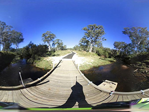
Mountain views, the song of the Bellbird and the native flora meld with history and heritage on the trail which meanders atop the Blackbutt range, affording a serene bush outlook with clear blue skies. This section is part of the 148 klm Brisbane Valley Trail.
Recently awarded the Queensland Outdoor recreation Federation's Government Achievement Award that acknowledges the outstanding partnership between the Queensland Government, Ipswich City, Somerset and South Burnett Regional Councils to deliver the 148 klm rail trail. Planning has commenced on the delivery of the trail from Toogoolawah to Moore. This will provide a continuous trail for hiking, biking and horse riding from Wulkuraka to Blackbutt. It has now been extended through Nukku to the original rail terminus at Yarraman.
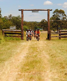
Council receives many requests to use the trail for various group activities, including horse riding, bike riding and walking. Council welcomes this usage. For further information contact one of Council's Visitor Information Centres on (07) 4189 9100 or make direct contact with the Brisbane Valley Rail Trail ambassadors Robyn Gray (07) 5424 8138 or Jeff Maudsley (07) 4163 0305.